


Wayne County Braces for Significant Snowfall as Lake Effect Snow Warning Remains in Effect
Heavy snow, gusty winds, and hazardous travel conditions expected across Wayne County with up to 2 feet of snow accumulation in some areas.
Residents of Wayne County are preparing for challenging weather conditions as the National Weather Service (NWS) has issued a Lake Effect Snow Warning lasting until 6 PM Sunday. With heavy snow and strong winds expected, travel and daily activities are likely to be significantly impacted over the coming days.
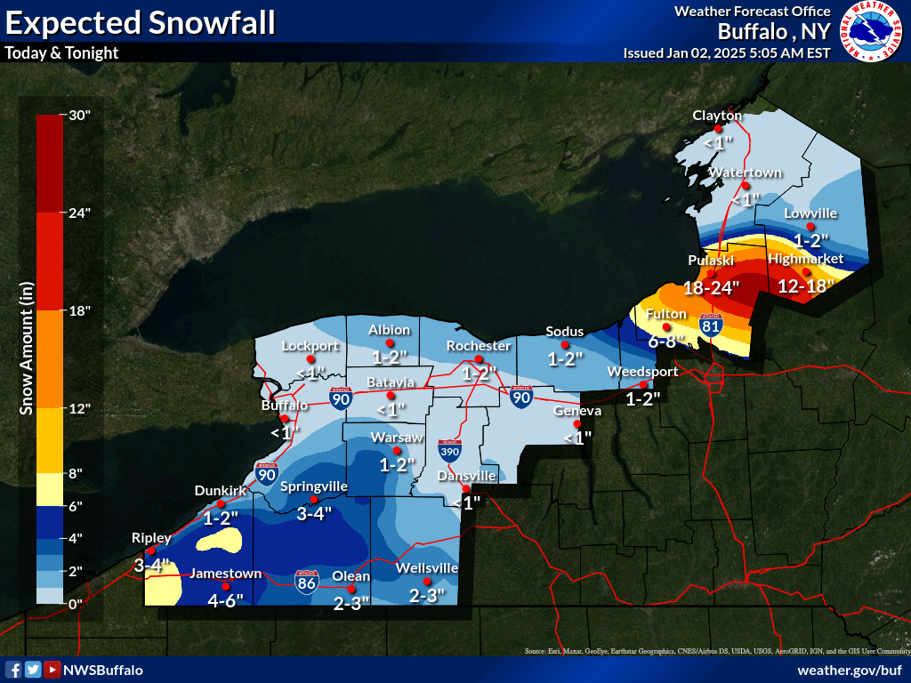
The NWS forecasts 1 to 2 feet of snow in the most persistent lake-effect snow bands, primarily in the northern and eastern portions of Wayne County. Winds gusting up to 40 mph will contribute to blowing and drifting snow, further reducing visibility and creating hazardous road conditions.
The snowfall will be highly localized, with heavy accumulations occurring in narrow bands. Forecasters warn that conditions may vary drastically over short distances, making travel particularly difficult and unpredictable.
The current forecast predicts occasional snow showers for Thursday afternoon, with a high near 36°F and wind gusts up to 28 mph. By tonight, the chance of snow diminishes slightly, with only minor accumulations expected as temperatures drop to 25°F.
Snow showers are likely to increase in intensity on Friday, particularly in the afternoon and evening, with 1–2 inches of fresh snow during the day and an additional 3–5 inches overnight. Strong winds will lead to areas of blowing snow, reducing visibility on roads and highways.
Saturday will bring continued snow showers and gusty winds, with additional accumulations expected throughout the day. Temperatures will remain cold, with highs around 28°F and lows dipping into the low 20s. The weekend snowstorm will likely culminate with more heavy snowfall on Sunday, with an 80% chance of snow during the day and a likely continuation of showers into the night.
Travel conditions are expected to be very challenging, especially during the Friday evening commute and throughout the weekend. Drivers are urged to exercise extreme caution and avoid unnecessary travel during periods of heavy snow. Snowplows and road crews will work to maintain roadways, but significant accumulations and drifting snow may outpace clearing efforts in some areas.
Residents should also prepare for the possibility of power outages due to strong winds and the weight of snow on trees and power lines.
Precautionary Measures
Avoid travel if possible during heavy snowfall.
Ensure your vehicle is equipped with emergency supplies, including blankets, a flashlight, and food.
Keep a close eye on weather updates from reliable sources such as the National Weather Service Buffalo Office or NOAA Weather Radio.
This storm is expected to impact Wayne County through Sunday evening, and conditions may shift quickly depending on the movement of snow bands. Residents are encouraged to monitor weather updates and stay prepared for rapidly changing conditions. As the storm approaches, local authorities and weather officials remind everyone to stay safe, stay warm, and remain vigilant.