


Cold Temperatures and Persistent Lake Effect Snow This Week
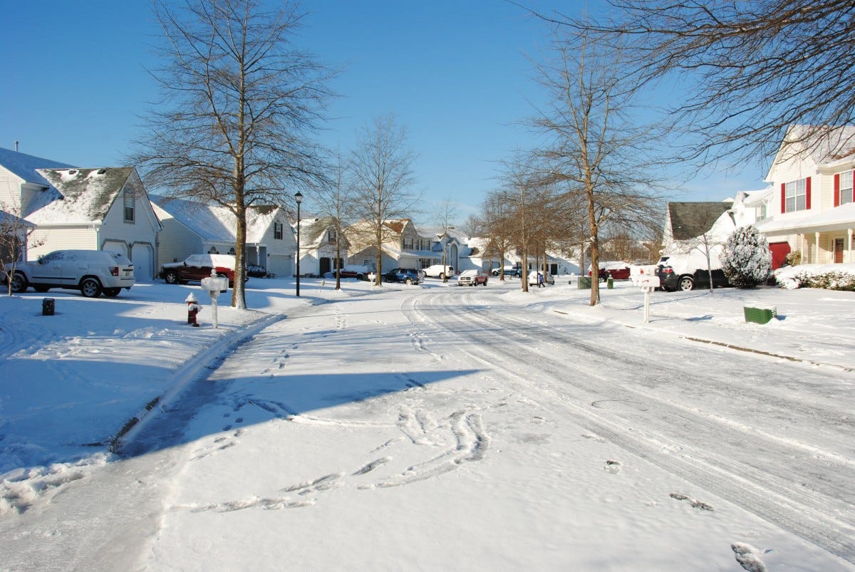
Get ready for a wintry week! Lake effect snow showers and freezing temperatures are set to dominate the forecast. The National Weather Service warns of ongoing snow showers, strong winds, and bone-chilling cold.
Snow Showers Likely Today
Monday’s weather will bring cloudy skies with snow showers likely by late morning. A patchy mix of very light freezing drizzle may occur early, making roadways slick. Snow accumulation of 1 to 2 inches is expected by evening. High temperatures will remain in the lower 20s, with northeast winds shifting to north at 10 to 15 mph. There’s a 60% chance of precipitation.
Lake Effect Snow to Intensify Tonight
The snow showers will continue into the night, with lake effect snow likely to develop after sunset. An additional inch of snow could accumulate overnight. Temperatures will hold steady between 15 and 20 degrees. Winds will strengthen from the northwest at 10 to 20 mph, with gusts up to 30 mph. This will make for hazardous travel conditions and reduced visibility.
Tuesday to Bring Blustery Conditions and More Snow
Lake effect snow showers are forecast to persist throughout Tuesday, with an additional 1 to 2 inches possible in areas affected by the most persistent snowfall bands. Highs will reach the mid-20s, but strong northwest winds of 15 to 20 mph, with gusts up to 35 mph, will make it feel much colder. The chance of snow remains high at 70%.
Snow and Frigid Temperatures to Continue Midweek
Tuesday night and Wednesday will bring no relief from the snow. Lake effect snow showers are expected to continue, with lows dropping to 15 to 20 degrees Tuesday night and highs on Wednesday struggling to reach 20 degrees. Brisk winds will persist, with gusts up to 30 mph. More snow accumulation is likely, adding to already slippery road conditions.
Looking Ahead: Gradual Improvement by Friday
The snowy conditions will extend through Thursday night, with temperatures ranging from lows in the mid-teens to highs in the mid-20s. By Friday, the region will see some relief, with partly sunny skies and highs climbing into the upper 20s. However, snow showers could return over the weekend, with a 40% chance of precipitation both Saturday and Sunday.